After the rainiest “summer” New Zealand has seen in a long
time we were watching the weather religiously and hoping that it would clear in
time for our 19.4km hike. We decided on Friday
as it was meant to start off a bit grey but clear up to be a sunny day. LIES. There’s a reason B*witched wrote the
song “Blame it on the Weatherman”. We woke up early to that wonderful UK-style drizzle
that doesn’t seem to be very heavy but soaks through you in about 2 minutes.
Not only that but it was so foggy and cloudy we could hardly see 1m in front of
us let alone the volcanoes we were supposed to be hiking up….but ever the
optimists we set off.
The volcanic terrain of Mt. Tongariro is meant to be one of the most
fascinating and unique treks worldwide. There are steaming vents and hot
springs, old lava flows, explosion craters filled with water and amazing views.
On clear days you can see Mt. Taranaki, Mt. Nagauruhoe (Mt. Doom to those Lord
of the Rings followers), Lake Taupo and beyond. Mt. Tongariro and Nagauruhoe
are active volcanoes (last eruption in 2012) so we were told to be aware of
increased volcanic activity and check the current Volcanic Alert Level. We were also warned about the alarmingly quick
change of weather conditions and that we should consider turning back if there
were strong winds and poor visibility….
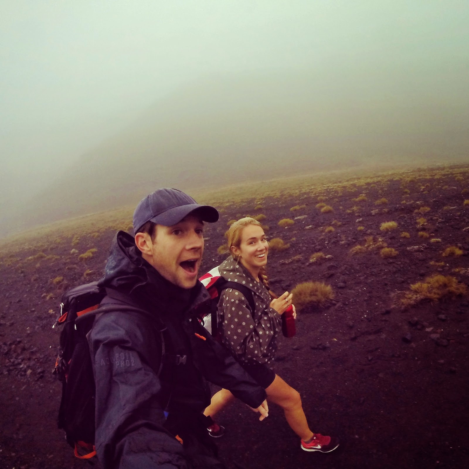
The trail started at Mangatepopo Valley at an altitude of
1100m. The track slowly winds its way up alongside a stream and around the
edges of old lava flows. It is generally believed that Mangatepopo Valley was
glacially carved out during the last ice age and then partially infilled by
lava flows from Nagauruhoe. The landscape is really interesting as you walk up
the valley; the younger lava is much darker whereas the older flows tend to
have more plants growing out of them. We took a small detour to see the Soda
Springs, a small waterfall at the top of the stream. From Soda Springs the track climbs steadily
up gaining 340m to the South Crater. At this point the drizzle turned into
proper driving rain and we were starting to get odd looks from people due to
the fact we were wearing shorts. We crossed over two lava flows and apparently
on a clear day there are incredible views from this part of the track although
I could hardly see Tim in front of me.
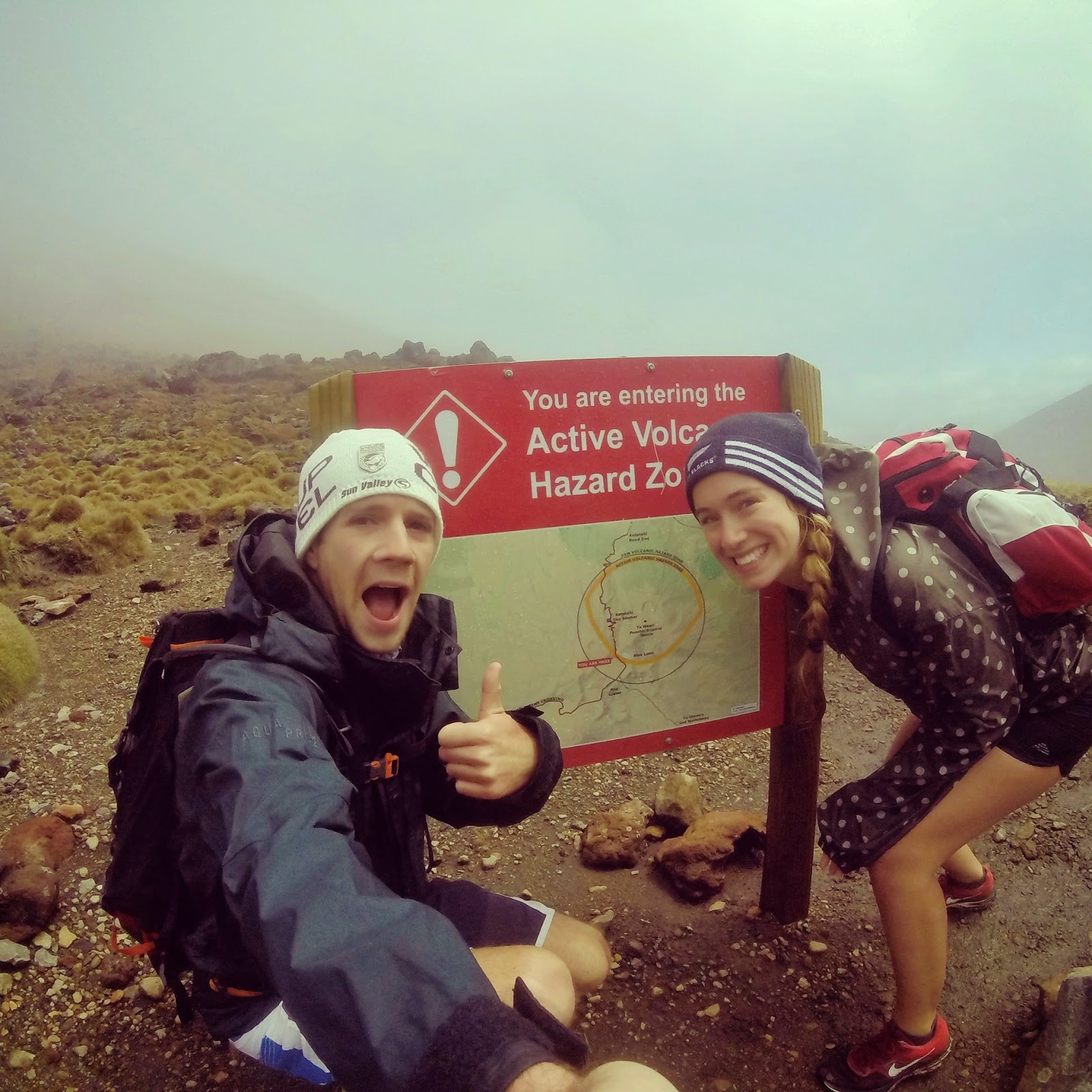 |
| Entering the Active Volcano Hazard Zone |
 |
| Mangatepopo Valley |
 |
| Soda Springs |
 |
| Hiking up to South Crater |
We continued hiking around South Crater Ridge to Red Crater
which peaks at 1900m. It was at this point we maybe should have considered
turning back. The wind really picked up to about 55km/h (it is too dangerous to
cross if it’s over 60km/h at 1800m), it was 2◦C and the rain was so heavy I
couldn’t see anything and was struggling to find my footing on the ridge track.
Despite the rain there was still quite a strong smell of sulphur; evidence that
the volcano is still active. The red colour of the rock is due to the high
temperature oxidation of the iron in the rock. From the top of Red Crater a
side trip to the top of Mt. Tongariro can be started but the weather was just
too bad for us to attempt this.
 |
| South Crater Ridge through the wind and rain |
From the top of the Red Crater the track descends steeply to
the Emerald Lakes. Their brilliant turquoise colour is caused by minerals
leeching from the adjoining thermal area. For me this was one of the biggest
disappointments as I had seen photos of these amazingly brilliant coloured pools
of water and the only reason I realised we were close to them was the smell of
sulphur…squinting through the rain and mist we could just about make them out.
 |
| Emerald Lake (sort of) |
 |
| Emerald Lakes |
 |
| Beautiful Emerald Lake as the cloud started to clear |
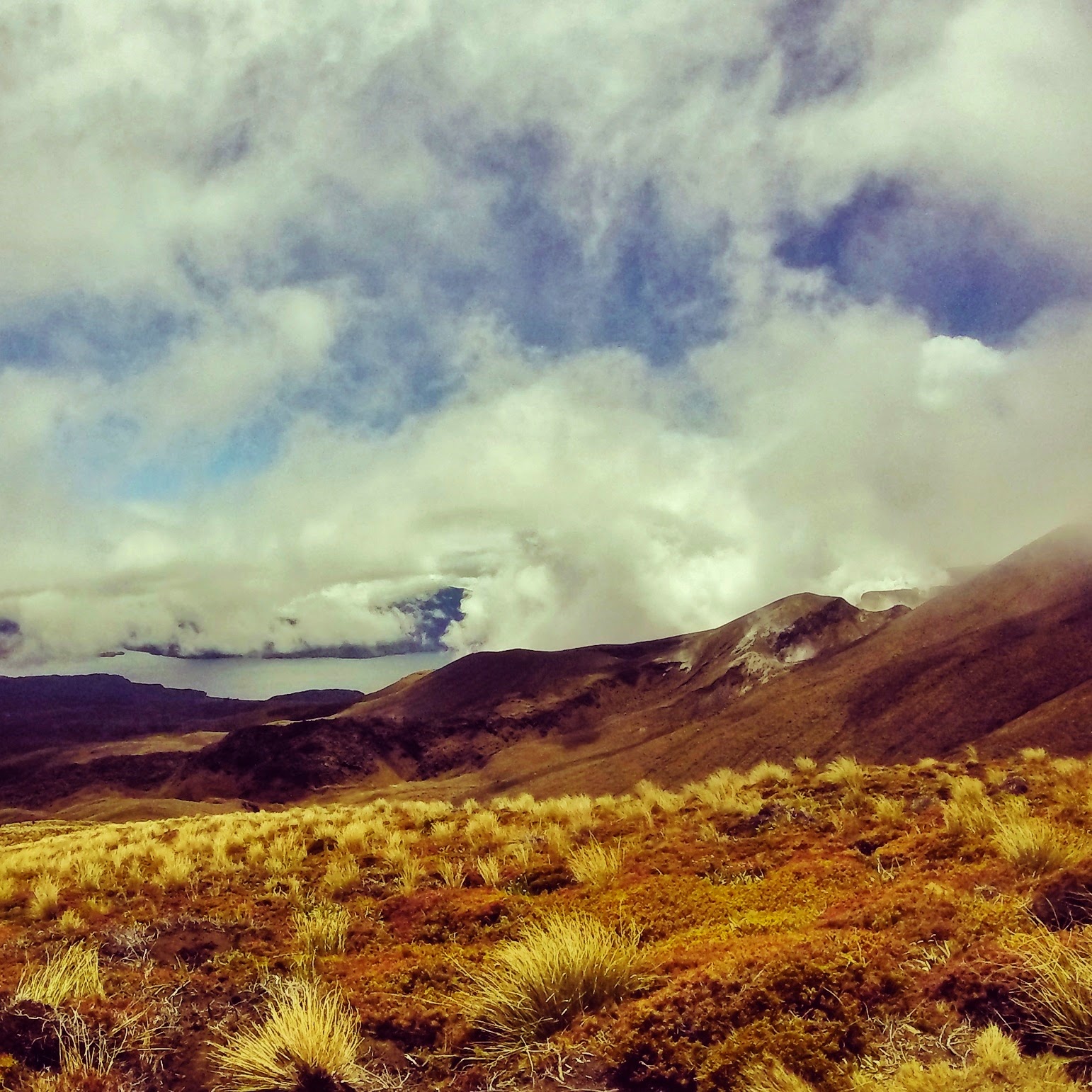
Continuing
from the Emerald Lakes to the Central Crater the rain finally stopped and some
of the cloud started the clear. Amazingly there were still patches of snow left
on the volcanic terrain. We stopped for a quick lunch looking over Lake
Rangihiroa (Blue Lake) which is considered sacred to the Maori. From here it
was downhill all the way to Ketetahi which overlooked the Te Maari Crater. This
last erupted in 2012 but was still spewing a small eruption column which was
really impressive. The track descends through tussock slopes to the forest
below. This final part of the trail was through the humid hardwood forest which
provided a large contrast to the rest of the track. At two points the track
passes over the tongue of a lava flow from Te Maari Crater and follows
alongside the Manga stream and a waterfall.
 |
| Lunch Break by the snow |
 |
| Views down to the Blue Lake |
 |
| Te Maari Crater and its small eruption column |
 |
| Heading down the slopes to the forest below |
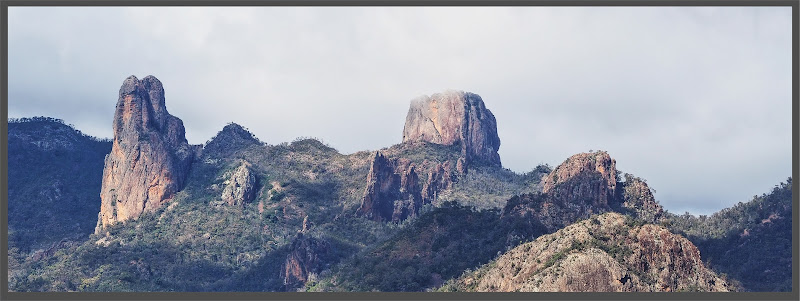
Ironically, we emerged from the forest to bright sunshine
and amazing views back up to the volcanoes.


Comments
Post a Comment