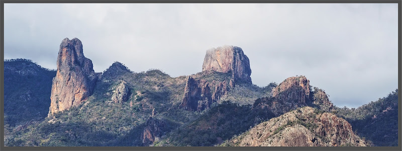
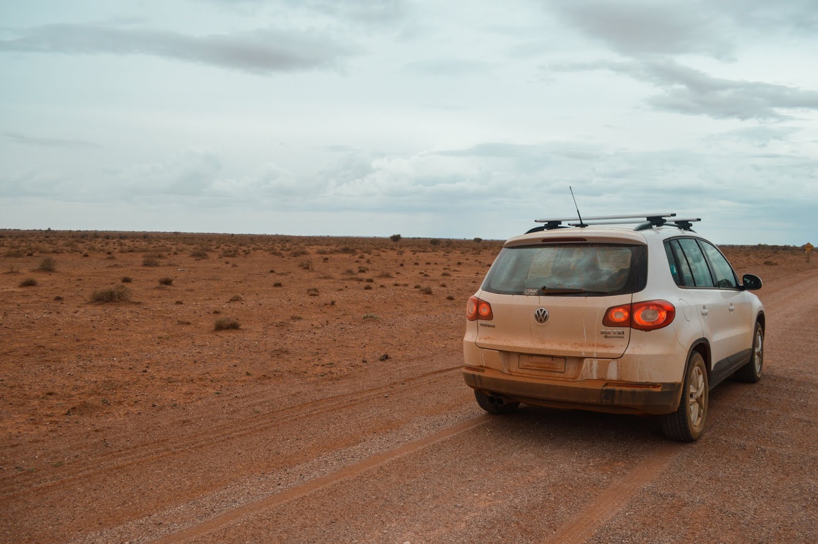
We had a massive drive from Yosemite to Vegas (8-10 hours if
sticking to speed limits…) so woke early, packed up our tent, emptied the bear
box and set off. We drove along route 120, a pass in the Sierra Nevada
mountains which winds its way all the way up to Tioga Pass at nearly 10,000
feet. It’s a tricky road to drive and is usually closed between October and May
due to heavy snowfall. Some of the snow-markers along the side of the road were
so tall. We stopped for breakfast next to Ellery Lake at the highest point of the
pass before heading back down the other side of the valley and out of Yosemite.
 |
| Breakfast at 10,000 feet |
We carried on driving, passing numerous ski resorts including the huge Mammoth
Mountain. Surprisingly given the height of some of these mountains there was
very little to no snow around. We stopped for some petrol in the one horse town
of Lone Pine as well as picking up a gallon of soft drink for $1 to get us
through the drive. (We regretted this later when we realised there was nowhere
to stop for a toilet break). We headed East on Route 190 into Death Valley as
we watched the greenery disappear and the temperature rise – it got to about
41 degrees C. The valley is known for its extremes; it’s North America’s
driest and hottest spot and has the lowest elevation in the US (282 feet below
sea level). The landscape was so striking – the purple, red and blue rocks, the
yellow sand and brilliant blue sky all contrasting each other. It took about 2
hours to drive through Death Valley and I was quite happy to be out the other
side because the temperature just got hotter and hotter and I was imagining scenarios
where our crap little car (we switched to a smaller one after San Francisco)
overheated and died and we would be stranded in the desert.
 |
| Road Trip essentials |
 |
| Filling up petrol |
 |
| Straight road through Death Valley |
 |
| Striking landscape of Death Valley |
 |
| Death Valley |
We then entered the
state of Nevada and drove about 75 miles along a dead straight road next to the
Nevada Test Site with official armoured vehicles patrolling the border on our
left. On our right there were signs which said “Hitchhiking Prohibited, Federal
Prison Area” which didn’t inspire the greatest confidence. We were closing in
on the vast metropolis of Las Vegas which also meant hitting rush hour traffic.
What had started as a single lane road turned into a 5 lane freeway with so
much traffic and the most confusing exit system…after nearly 10 hours on the
road we were not best pleased. But as soon as we pulled off onto Las Vegas
Boulevard with the Eiffel Tower and London Eye sparkling in the distance we
soon got excited again!
 |
| Welcome to Nevada |
 |
| Vegas Traffic |
Hitting the strip the following night was an experience.
Being a Saturday night and Labour Day weekend, the crowds in this dazzling
rhinestone of a city were just intense. And at 40 degrees at 11pm at night
being in a large crowd was not the most pleasant experience. We caught the
Vegas Monorail to MGM Grand Station and walked up the strip. I found the whole
thing just a bit strange, inside the casinos time stands still with no clocks,
fresh-pumped air and people mindlessly tapping away at the slot machines. But
outside on the strip the twinkling casinos were pretty impressive. I liked New
York-New York, a mini metropolis featuring scaled-down replicas of the Empire State
Building, the Statue of Liberty and the Brooklyn Bridge. Also impressive was
the Bellagio’s 8.5 acre artificial lake with its choreographed dancing
fountains. Taking a break from the oppressive heat we entered Caesar’s Palace;
an absolutely sprawling labyrinthine Greco-Roman fantasyland. There were marble
reproductions of classical statues and even the toilets were huge and
beautifully decorated in large pieces of marble. Tim had a go at the slot machines
(Caesar’s Palace: 1 – Tim: 0) but lady luck was not with us. We eventually
found our way back out to the strip and got to the Venetian with their
hand-painted ceiling frescoes and gondola rides, before heading back to our
hotel taking the rest of our cash safely with us.
 |
| New York New York |
 |
| Bellagio Fountains |
 |
| Losing Money |
 |
| The Venetian |
The following morning we drove a few miles East of Vegas to Hoover Dam.
Straddling the Arizona-Nevada border, built in 1935 this graceful curved art
deco dam is the highest concrete dam in the Western Hemisphere at 221m above
the Colorado River. We parked on the Arizona side and walked across the dam
taking in the views. I love art deco anyway but the combination of concrete and
bronze is one of my favourites. I really liked the clock faces on the intake
towers. The two states are in different time zones, but as Arizona doesn’t
observe Daylight Saving Time, whilst we were there the clocks were showing the
same time. For an even better vantage of the dam we walked across the Mike O’Callaghan-Pat
Tillman Memorial Bridge. This was built in 2010 and takes the freeway over the dam
but also provides views of the dam that before were only available via
helicopter.
 |
| Intake tower clocks |
Total distance: 3449 miles


Comments
Post a Comment