The plan was to cover 250miles today so I had to do my fair
share of the driving. I haven’t driven since I passed my driving test….and was slightly
apprehensive although I managed not to crash and to avoid the Elk which tend to
run across the road. We headed South along highway 101 which winds its way
along the pacific coast (again shrouded in fog). We drove approximately 75 miles
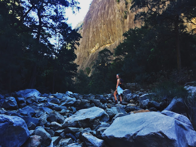
to Lake Quinault, a glacial lake surrounded by forested peaks within a Native
American Reservation. We stopped for a
quick picnic lunch before heading South on Highway 101/105 to Astoria.
 |
| Lake Quinault |
 |
| Grumpy Tim pre-lunch |
 |
| Washington Coastline |
Astoria is located on
the Columbia River and is accessed via the Astoria-Megler Bridge which spans
between the states of Washington and Oregon. Astoria has a large port and long
seafaring history; this is depicted on a column which stands on the top of
Coxcomb hill where scenes from US explorations have been painted on. The top of the column stands at 40m and can
be accessed via a small spiral stair internally. The views from the top are
amazing.
 |
| Astoria-Megler Bridge |
 |
| Entering Oregon |
 |
| View from the Astoria Column |
Continuing down Highway 101 took us to Ecola State Park and
Cannon Beach which stretch along 9 miles of coastline. These offer some of the
most breathtaking views along the Oregon coast. Haystack Rock provides a
striking landmark and the surrounding mists, fog and sun all compete to create
an ever-changing vista. The beach is surrounded by a forest of Sitka Spruces.
 |
| Haystack Rock on Cannon Beach |
 |
| Ecola State Park |
Our stop for the night is the small town of Seaside. We were
too lazy to do anything for dinner so went to a Taco Bell drive thru where $10
bought us disgusting amounts of food.
 |
| Driving fun |
 |
| 250 mile drive from Forks to Seaside |
Total distance: 530 miles


Comments
Post a Comment