After picking up our
little red car (we’ve named her Henrietta) we waved goodbye to the Seattle
skyline and got the ferry across to Bainbridge Island. After a quick stop in
Walmart to buy ridiculous amounts of supersize food we drove 115 miles to the
Olympic National Park.
 |
| Me and Henrietta |
 |
| Seattle Skyline from the ferry |
 |
| Sailboats off Bainbridge Island |
 |
| Vile amounts of food from Walmart |
The Olympic Peninsula is
surrounded on three sides by the sea and covered in dense primeval forest. We did a quick 1 mile hike to the Sol Duc waterfall. This is a beautiful and
unique waterfall – the Sol Duc River flows through the Northwest part of the
Olympic Peninsula and splits into four channels at the waterfall and
plunges down 15m. The river serves as a key highway for the Coho salmon where
they leap over the falls. Unfortunately, spawning season is in October/November
so we were too early to see this.
 |
| Sol Duc Waterfall |
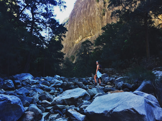
We followed another trail up to Deer Lake – a 7 mile round trip with an
elevation of 520m. Deer Lake occupies a wooded basin in the transition zone
from the montane to the subalpine forest of the park. We were on the look-out
for Cougars, as a horse had been killed by one next to the lake a day prior to
our hike…!
 |
| Deer Lake |
 |
| Tired Feet |
 |
| Sleeping Lions |
Walking though the Olympic National Rain Forest is truly magical – there are
huge firs and a thick understory of an ethereal huckleberry. The whole place looks
almost prehistoric.
We also hiked through
the Hoh Rain Forest – a Tolkien-esque maze of dripping ferns and moss draped
trees. We took the Hall of Mosses/Hoh River Trail but couldn’t complete the
full hike as it is an 18 mile trail which takes you right up to the Blue Glacier
on Mount Olympus (peak at 2432m). It would have been amazing to do but we were
somewhat unprepared; our lack of ice axe and crampons…
 |
| Following the trail through the Olympic National Forest |
 |
| Hiking in the Hoh Rainforest |
 |
| Hall of Mosses Hoh Rainforest |
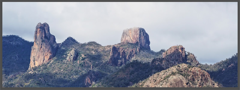
The next morning we did
a 7 mile hike to the Hurricane Ridge on the Northern most side of the park. It’s
amazing how different the forest is here – more like Alpine walking compared to
the rainforest below. It was quite a climb as the highest point of the mountain
is at 1755m. From the summit we had amazing views in all directions: Vancouver
Island to the North, The Cascades Range to the East, Seattle, Mount Olympus and Mount Rainier to the South
and the Olympic Mountains to the West. As we were walking quite early, there
was lots of wildlife that was still undisturbed by other hikers and we saw deer
grazing and at the peak of Hurricane Hill I was greeted by a very friendly chipmunk!
 |
| At the summit of Hurricane Hill - Mt. Olympus in the background |
 |
| Friendly chipmunk |
 |
| Bambi |
The other completely surreal thing was that because we were so high, despite it
being August and approx. 25 degrees, there were still patches of snow around.
Depressions in the mountain caused by glaciers, are then compacted with snow
which remains there all year round.
 |
| Snow! |
 |
| Being bullied at 1755m |
We then drove down Highway 101 past Crescent Lake and
carried on until Rialto Beach on the Pacific Coast next to an Indian
Reservation. As we approached the coast the sun disappeared and we were
enveloped in fog. The beach is bordered by the Olympic National Forest and
there are giant drift logs all over the sands as well as offshore islands or “seastacks”
which appear through the fog from time to time. It really felt other-wordly.
Here too we saw plenty of nature; massive groups of Pelicans fishing and herds
of seals bobbing in the waves. As we were clambering back over the driftwood, a
young couple who were camping on the beach invited us over for hot “dawgs” over
a campfire. A true American experience.
 |
| Crescent Lake |
 |
| Rialto Beach "seastacks" |
 |
| Giant driftwood on the sea shore |
 |
| Tim and a giant tree |
 |
| Seastacks |
 |
| Foggy Rialto Beach |
Total distance: 270 miles


Comments
Post a Comment