We left Wine Country and
headed to San Pablo Bay: a tidal estuary just North of San Francisco. Accessed
via a bridge from the mainland is Mare Island Naval Shipyard, the first US Navy
Base established on the Pacific Ocean. The base closed in 1996 and what is left
is an industrial graveyard of dilapidated barracks, abandoned warehouses and WW2
cranes. There seems to be some sort of redevelopment happening as several of
the sites had obvious signs of construction but apart from that we were the
only ones there and it was amazing to drive around the decaying infrastructure.
 |
| Mare Island |
 |
| Abandoned Warehouse |
 |
| Decaying Infrastructure |
We then headed to the Marin Country Civic Centre designed by Frank Lloyd Wright
in 1957 (his last project). Unsure as to
whether we were actually allowed in we tentatively headed down one of the long
atrium spaces but we needn’t have worried; an office worker took one look at
us with the SLR camera and said “architects?” – clearly it’s a regular occurrence.
It’s not one of my FLW favourites, but the detailed metalwork is really lovely.
It’s typical of a FLW building in the connection to the landscape and
environment is key – the horizontal buildings link between 3 hills, and the
planted atria bring light and greenery into the building.
 |
| Frank Lloyd Wright - Marin Civic Centre |
 |
| Tim in the atrium space |
 |
| Public Library |
 |
| Metal detailing |
 |
| 1950's Escalator |
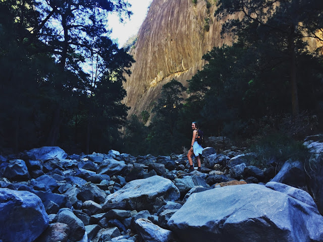
We walked through China
Camp State Park, a park nestled into the shore of the bay. In the 1880’s a
Chinese shrimp-fishing village thrived on this site with nearly 500 people from
Canton, China living there. The remnants of the village are still there along
with amazing views across the bay. We then drove to the tip of Tiburon,
overlooking Angel Island. It is a beautiful little town, right on the water.
Tiburon is Spanish means “shark” – which refers to the local leopard sharks in
surrounding waters. Unbeknown to us at the time we were driving through,
Tiburon was also the home of the late Robin Williams. We finally got our first glimpse
of the Golden Gate Bridge (although a heavy band of cloud obscured most of it!)
 |
| View from China Camp State Park |
 |
| Golden Gate Bridge from Tiburon |
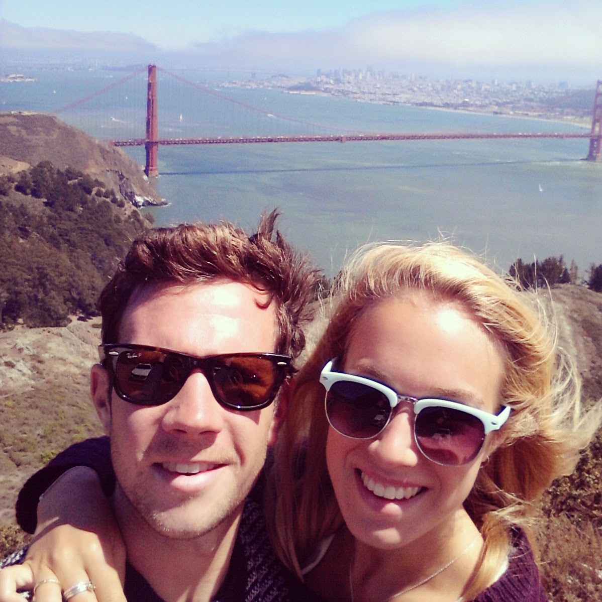
We walked to Battery Mendell – a dual gun
battery constructed in 1908 as part of the harbour defence of San Francisco. Wandering
around the gun emplacements makes you appreciate the size the guns must have
been. It also afforded us another amazing view of the bridge. We were lucky in
that by the time we were leaving the fog had been blown out and we got to see
the bridge in full sunshine!
 |
| Battery Mendell |
 |
| Golden Gate Bridge |
 |
| Hello San Francisco! |
We then headed to the Marine Mammal Centre which is effectively a working
hospital which rescues seals and sea lions by rehabilitating and releasing
them. On the day we visited there were 41 “patients” of which the majority were
Californian Sea Lions. The majority are rescued for diseases, separation,
entanglements and malnourishment but apparently 10% of all rescues are due to
human impact. We saw several of the patients recuperating in outdoor tanks and
we also had access to view the post mortem room (although they were just
clearing up as we arrived so we didn’t see anything) – but according to the
notes on the board, the patient Jane a California Sea Lion died of Domoic Acid Toxicity
(from the large quantities of algae in the water) and kidney failure. Most of
the mammals are released in the nearby Rodeo Beach so we headed there next. We didn’t
see any seals but we saw several surfers – apparently the beach is popular as
it is possible to surf there throughout the year and during all tides although
there is quite a high shark risk (!) The beach is unique among California
beaches as it is made up of red and green pebbly sand and semi-precious stones
can be found there. We settled ourselves down in a little sheltered cove quite
far from the sea to have some snacks and catch some rays. SUDDENLY a wave came
out of literally nowhere and soaked us and everything we had. Luckily phone and
camera have seemed to have survived fine. There were posters up about “sneaker
waves” – I guess we should have paid more attention….
 |
| Life-size model of an Elephant Seal |
 |
| Rodeo Cove |
 |
| Rodeo Cove |
The next morning we headed to Point Bonita Lighthouse. This
has aided ships navigate the treacherous waters of the Golden Gate for over
150 years. It was originally built
higher up the ridge but apparently the thick fog frequently obscured the light
so they moved it 100m lower, to the tip of Point Bonita. The lighthouse is
accessed via a mile long steep trail and amazingly it is still actively used in
the Bay Area and is maintained by the US Coast Guard. We had to access it
via a tunnel through the headland which
was quite exciting. We then drove to Sausalito to see the San Francisco Bay
Model. Built by the US Army Corps of Engineers in 1957, this is a ginormous
model of San Francisco Bay, Sacramento and San Joaquin Delta and was used to
test and research the impact of proposed changes to the bay and related
waterways. It simulates the tidal action and currents in the bay (although somewhat
sped up) with 24 hours being represented in 15 minutes. Sausalito is a cute
little coastal town and we joined the locals for a morning coffee on the
boardwalk by the marina before heading over the Golden Gate Bridge. Next stop:
San Francisco!!
 |
| Tunnel to Point Bonita Lighthouse |
 |
| Point Bonita |
 |
| Tourist |
 |
| Sausalito |
 |
| San Francisco Bay Model |
 |
| Driving over Golden Gate Bridge |
Total distance: 2162 miles


Comments
Post a Comment